
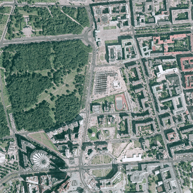
Digitale Orthophotos (farbig) für das gesamte Berliner Stadtgebiet mit einer Bodenauflösung von 0,25 m im Blattschnitt der K5.
Informationen zum Datensatz
-
Kategorie:
-
Geographische Abdeckung:
-
Geographische Granularität:
-
Zeitliche Granularität:
-
Veröffentlicht:01.08.2004
-
Aktualisiert:01.08.2004
-
Veröffentlichende Stelle:
-
E-Mail Kontakt:margit.rust AT senstadt.berlin.de
-
Kommentare:0

Ressource(n)
Endpunkt-Beschreibung des WMS-Service
Maschinenlesbare Endpunkt-Beschreibung des WMS-Service. Weitere Informationen unter https://www.ogc.org/standards/wms
Format:
WMS
Sprache:
Deutsch
API-Endpunkt des WMS-Service
API-Endpunkt des WMS-Service. Weitere Informationen unter https://www.ogc.org/standards/wms
Format:
WMS
Sprache:
Deutsch
Serviceseite im FIS-Broker
Aufruf des Geoportals Berlin mit Darstellung der Karte und weiterer Metadaten
Format:
HTML
Sprache:
Deutsch