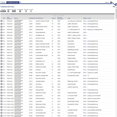
Der Programmplan Landschaftsbild des LaPros stellt Qualitäten und Mängel des Landschaftsbildes dar. Ziel ist, räumliche Eigenarten zu erhalten und die Erlebbarkeit von Strukturelementen zu erhöhen.

Informationen zum Datensatz
-
Kategorie:
-
Geographische Abdeckung:
-
Geographische Granularität:
-
Zeitperiode:08.06.2016
-
Zeitliche Granularität:
-
Veröffentlicht:18.02.2016
-
Aktualisiert:18.02.2016
-
Veröffentlichende Stelle:
-
E-Mail Kontakt:birgit.koenig AT senmvku.berlin.de
-
Kommentare:0
Ressource(n)
Endpunkt-Beschreibung des WFS-Service
Maschinenlesbare Endpunkt-Beschreibung des WFS-Service. Weitere Informationen unter https://www.ogc.org/standards/wfs
Format:
WFS
Sprache:
Deutsch
API-Endpunkt des WFS-Service
API-Endpunkt des WFS-Service. Weitere Informationen unter https://www.ogc.org/standards/wfs
Format:
WFS
Sprache:
Deutsch
Serviceseite im FIS-Broker
Aufruf des Geoportals Berlin mit Darstellung der downloadbaren Daten als Karte(nlayer)
Format:
HTML
Sprache:
Deutsch
Technische Beschreibung
Technische Beschreibung
Format:
PDF
Sprache:
Deutsch


